Contact Us
Subscribe
Stay in touch by joining our mailing list.
Funding
The Ottawa Huron Tract History Association proudly partners with the City of Kawartha Lakes and Invest Kawartha to bring you Heritage Stories.
![]()
The History of the Ottawa-Huron Tract
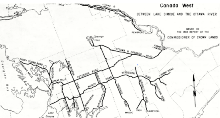
The Ottawa-Huron Tract is the historical name for that part of Southern Ontario lying south of Lake Nipissing, East of Georgian Bay (Lake Huron), north of the Kawartha Lakes and west of the Ottawa River. Basically, it is the extension of the Canadian Shield in Southern Ontario. The rough topography of the Canadian Shield also crosses the St Lawrence River between Kingston and Brockville and extends into New York State where it is called the Adirondack Mountains. This extension is called the Frontenac Axis or Arch. The area where the Arch crosses the St Lawrence is known as the Thousand Islands.
This large area of Ontario contains all or parts of 245 townships organized into 12 counties and districts. These man-made boundary lines don’t necessarily follow landforms. But this huge area shares the same geography and history.
In Ontario History before 1850, this area was considered too rocky and unfit for agricultural settlement; which was all the government of Upper Canada really cared about at the time. Pre-1850, settlement stopped at the Kawartha Lakes and at the edge of the Tract. But by 1850, unoccupied farmland in Southern Ontario was all gone. New immigrants and the children of previous settlers could not find land. Many moved from Canada to the USA. Rupert’s Land (now the Prairie Provinces) was inaccessible and belonged to the Hudson’s Bay Company. If Ontario’s population was to grow, new land was needed. The Ottawa-Huron Tract and the Queen’s Bush (Grey-Bruce Counties) were tapped for new settlement.
The first step was the building of a series of Colonization Roads that started at the southern edge of the still unoccupied Tract and extended north towards the French River-Lake Nipissing boundary of Southern Ontario. The majority of these Roads ran south to north. Only 3 roads dared to travel east-west. Most of these 19 colonization roads never reached the planned terminus: they stopped where settlement stopped and were all finished by 1880. But they did set the travel and settlement patterns for the Tract.
Free grants of 100 acre bordering these roads were granted to actual settlers who performed settlement duties. Originally the rest of the Tract’s lots were to be sold. But after 1868, all lands were given free grant if the following duties were performed: remain on the lot for 5 years, clear 10 acres and build a house. The amount of land was later increased to 200 acres due to the “poor” nature of the land. Even such “generous” terms could not entice settlement in much of the Tract! The Tract contained some of the best timber in Ontario, and most of the unoccupied land was leased to lumbermen. Disputes between lumbermen and settlers over the timber rights were common, but in the long run, there was lots of space for both.
The settlement of the Ottawa-Huron Tract as a farm community has been judged by some a failure. Certainly most of the land was unsuitable for the type of intense farming used in Southern Ontario. Many settlers stayed only a few years before abandoning their lots, but others persisted. The population of the Tract peaked about 1900 and then steadily declined as settlers left for the USA or Western Canada. But other industries, such as lumbering and tourism, took up the economic slack. Another industry, mining, operated on a boom-bust cycle. After 1920, mining was mostly a bust!
Colonization Roads from the 1850s dictated the sites of most of today’s communities. These Roads were later incorporated into our modern roads system, with a few changes of course! The tourism industry was started almost simultaneously with settlement and drives the Tract economy to this very day. The Ottawa-Huron Tract is home to Ontario’s most famous park: Algonquin Provincial Park. Opened in 1892, it was designed to preserve 39 Townships of the Ottawa-Huron Tract/Canadian Shield in its natural state for future generations (despite the fact no settlers were willing to live here!).
While the original expectations for agricultural settlement were not realized, the opening of the Tract was far from a disaster. Today, thousands of Ontarians live, work and vacation in the Tract. Today we honour this past and look forward to the future.
Our Directors
Guy Scott
President
Guy Scott is an historian and an author who lives in Kinmount. He is retired from teaching grade 10 History and Civics courses online for the Trillium Lakelands District School Board.
William Bateman
Secretary
William Bateman is a corporate lawyer (retired) who lives in Pontypool. He has a keen interest in local arts, heritage and history.

Joan Abernethy
Treasurer
Joan Abernethy is a local heritage enthusiast and writer who lives in Lindsay. She taught computer mathematics, finance, education and art history in Ontario and chaired the Insurance Board of Referees for Peterborough region.
Guy Scott (left) and Bill Bateman (right) at Bobcaygeon Fair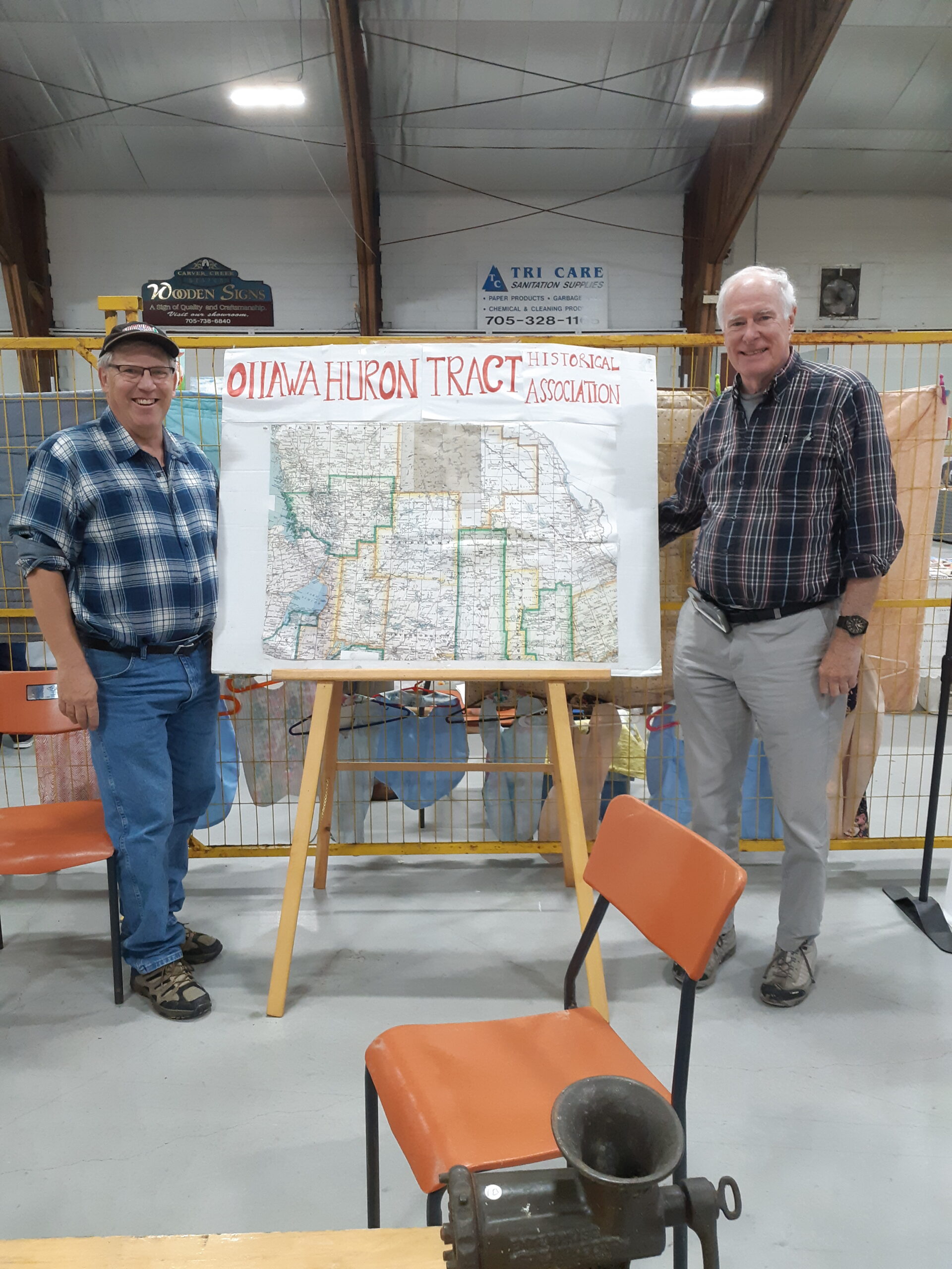
Resources
The world is quickly changing and, with it, our understanding of borders. While place is essential to local heritage, heritage bleeds from one place to another and co-mingles with culture.
We recognize that our heritage maps are more like VENN diagrams than political maps, more like climactic maps or road maps than maps of war. Understanding and the peace that comes from understanding grows from what we share, not what we exclude.
We share resources to grow our community. Check out our friends and neighbours.
Maryboro Lodge
Fenelon Falls
https://maryboro.ca/
Kinmount Fair
Kinmount, Ontario
https://www.kinmountfair.net